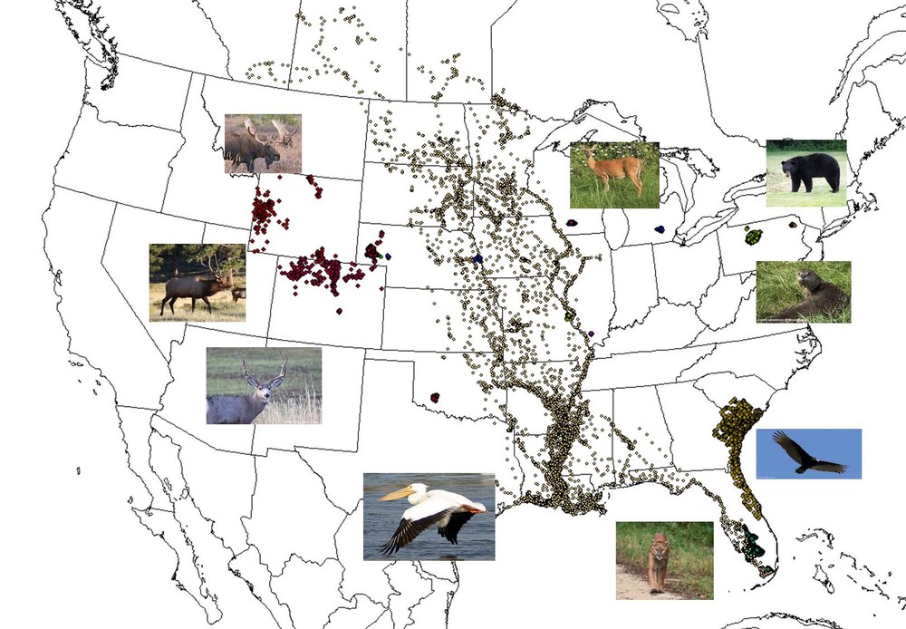
Map of the US with animal location data
The Spatial Data Analysis Lab provides assistance to university faculty, graduate students, and state/federal collaborating agencies. The large-scale availability of animal location data and data layers for Geographic Information Systems has increased the need for appropriate data compilation, storage, and formats for future research of data generated during research projects at the regional, national, and international scales. Our laboratory has expertise in data compilation, organization, and use spatial analysis of data. Our lab provides assistance by integrating GIS layers with location-specific data of study species that include animals monitored by Global Positioning System technology, wildlife disease surveillance, or genetic sampling. Our laboratory's data is housed on an online infrastructure, Movebank.org, that can be accessed by a request to the laboratory by collaborators. Our laboratory functions as a research center and data portal to streamline data acquisition, analysis, and dissemination among collaborators to facilitate timely research and appropriate study designs with datasets available at appropriate spatial scales.
Currently, we have 474,919 locations encompassing 5 mammalian species and 3 avian species equipped with GPS technology and 2 species collected during surveillance studies for disease/harvest. The datasets compiled are from 9 states in the US with collaborations from 7 Universities, 6 state wildlife management agencies, and 2 federal agencies.

